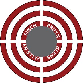
The scanned maps cover a large part of the Finch-Pruyn lands that were mainly bought by NY State via the Nature Conservancy. The maps also cover some land that remains private, like the area North of the Goodnow Flow, and was purchased by the Danish pension fund ATP. You can get an overview of the lands from this article in the Adirondack Explorer.
It will probably take a couple of decades to figure out the final details about access and how to exploit the lands for recreational purposes but there is a short book summarising a dozen possible Adirondack outings (including hiking, paddling, and climbing) in these new State properties.
Source of the maps for former Finch Pruyn forestry land
The maps were in a roll in the shed/boathouse of a Newcomb camp. I’m guessing they were put there by Woody Olmsted, a prior owner of the Lot and came from Finch-Pruyn. Norwood “Woody” Olmsted (1918-2005) was a forestry manager with Finch-Pruyn. According to his obituary he received a BS in Forestry management in 1946.
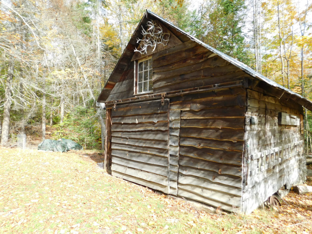
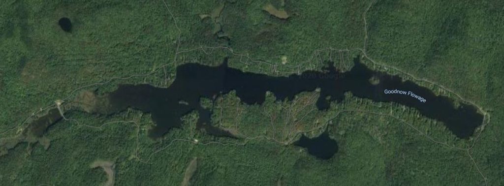
The cabin is on the Goodnow Flow on land that was transferred from Finch Pruyn, and Mr Olmsted was a key figure in laying out the lots around the private lake and establishing the owners club that eventually bought the lake bottom and which recently refurbished the dam that maintains the artificial lake. Woody’s road running down the North side of the lake is named for Mr Olmsted.
Details on the Adirondack forestry map scans

The large-scale maps (something like 6ft by 4ft and 8″ to the mile) looked to be diazo copies, scanning was facilitated by C. Higgerson, a fellow camp-owner at Goodnow Flow. The maps had been left untouched by mice – maybe because of traces of printing chemicals, and only one had a faded zone- possibly due to light through cracks hitting impacting the outer layer of the roll.
The images in the website are small low resolution JPEGs for casual inspection, the PDFs are accessed off a directory in my google drive. The .PDFs have scans of the full size maps and range from about 500KB to 5MB. These are provided as resources and as a starting point- the complete image in a letter size page is almost useless given the ‘compression’.